We enjoyed a very nice weather day today across Mississippi with a crisp, blue sky prevailing allowing for maximum sunshine. Several locations, especially in north Mississippi, visited the mid and low 20s for low temperatures this morning but the sunshine helped temperatures rise almost 30 degrees today.
We have a quick-hitting system that will bring a cold front into our area late tomorrow afternoon into tomorrow night. Clouds will increase quickly ahead of this system, but rain showers will hold off until the nighttime hours thanks to the very dry airmass that's in place now that has to have time to moisten. The above image shows 850mb temperatures (the colors) along with the wind direction. Notice not much change in the temperature gradient across MS; this indicates minimal warm air advection and this will help mitigate severe weather chances. A line of showers and embedded storms are possible though, from about 9 PM - 3 AM here locally in the GTR.

Clouds will clear out early Tuesday morning and should make for a nice day with temperatures getting to near 50 degrees with sunshine. The above image is surface dewpoint temperatures Wednesday morning, with the white color signifying dew point temperatures at or below 30 degrees F. I wanted to show this image not only because of the dry air in place, but the wind direction as well--northerly to northeasterly. This will be crucial for our system that is poised to impact the southeast Thursday into Friday.
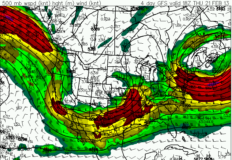
This map shows a potent 500mb shortwave moving through the central part of the country with southwesterly flow aloft over our area. However, this system is already taking a negative tilt and closing off aloft.
Here's the dewpoint chart for 6 PM Thursday evening. Notice the circulation over southeastern Kansas--that's the surface low pressure center which is almost vertically aligned with the upper level low. This suggests that the overall cyclone will be weakening with time. Also, the surface low appears to be occluding which will further lead to its continued weakening.

However, one cannot disregard the amount of shear with this system as well as the moisture recovery that is possible. By Thursday afternoon, at least across the southern half of Mississippi, moisture could recover sufficiently to promote a severe weather threat. And for that reason, the Storm Prediction Center has outlooked parts of central and south Mississippi into adjacent parts of eastern Louisiana for the potential for severe thunderstorms. The amount of moisture recovery and resultant instability again is critical in this severe weather forecast as the moisture just may not be able to align with the best dynamics; recall the dry air forecast to be entrenched as late as Wednesday morning into early afternoon.
Bottom line: If you live anywhere in the purple shaded areas on the map above, stay close to a reliable source of weather information during the day Thursday as severe weather could threaten your area.
Have a great Sunday evening, and God Bless!
IW


No comments:
Post a Comment